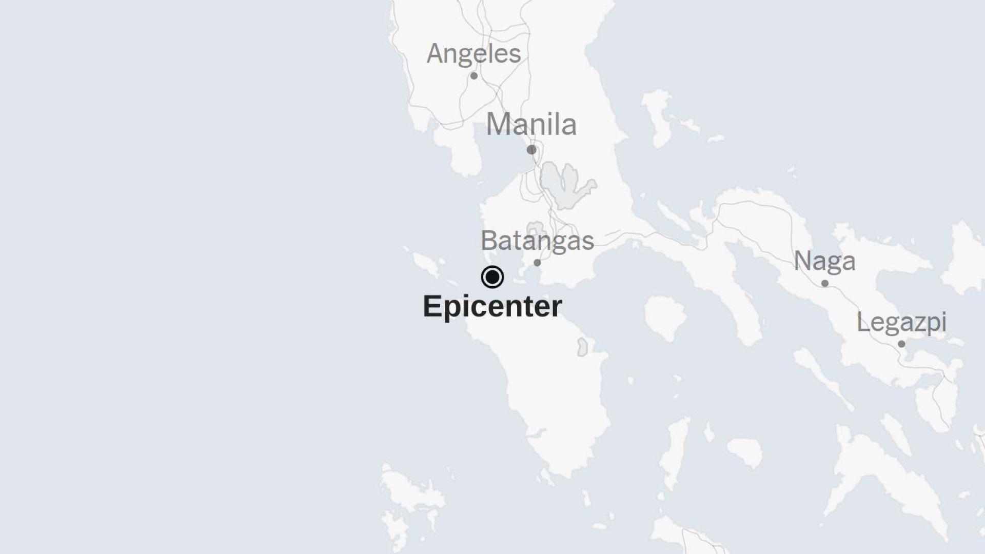
A 5.1-magnitude earthquake struck off the coast of the Philippines early Tuesday morning, according to the United States Geological Survey (USGS). The quake occurred at 12:05 a.m. local time, approximately 11 miles (18 kilometers) southeast of Calatagan, a coastal municipality in Batangas Province on Luzon Island. While considered moderately strong, there were no immediate reports of damage or injuries.
Seismologists emphasized that the earthquake’s magnitude and impact assessment are preliminary and subject to revision as more data is gathered. The USGS also noted that updates to the shake-severity map may follow, depending on additional seismic readings and regional reports. The Philippines, located in the Pacific Ring of Fire, a region known for frequent seismic and volcanic activity, is no stranger to earthquakes. Its position along several active tectonic plate boundaries makes it highly vulnerable to seismic events, ranging from mild tremors to destructive quakes.The Philippine Institute of Volcanology and Seismology (PHIVOLCS) regularly monitors such events and advises on potential aftershocks or tsunami risks, although no such alerts were issued in this case. Earthquakes of this magnitude are generally felt in nearby areas but rarely cause structural damage unless shallow or occurring near densely populated regions.
This event underscores the ongoing global concern regarding earthquake preparedness in seismically active zones. Other countries along the Pacific Ring of Fire, such as Japan, Indonesia, Chile, and the United States, face similar risks. The recent earthquake in the Philippines serves as a reminder of the importance of early warning systems, updated building codes, and public education in mitigating the impact of natural disasters. As climate-related challenges and population pressures intensify in disaster-prone regions, coordinated international resilience efforts remain crucial in protecting lives and infrastructure worldwide.